This Stanley to Cradle Mountain self drive itinerary takes in several rainforest and nature walks on the way to Cradle Mountain. This will take you off the beaten track a little to experience some parts of Tasmania not reached by the casual visitor.
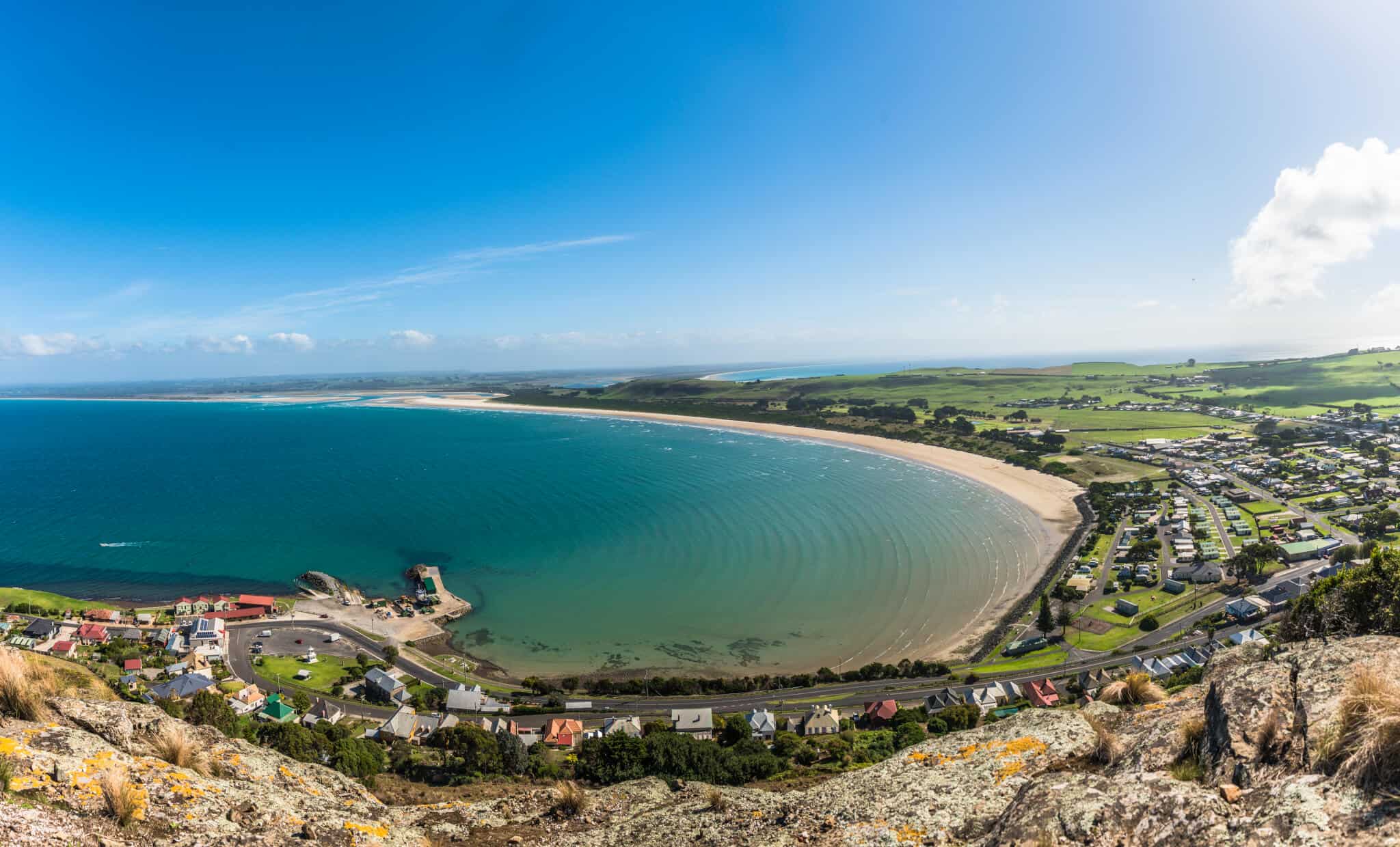
Stanley to Cradle Mountain


Stanley to Dip Falls
Featured stops | Dip Falls Forest Reserve | the Big Tree | Mawbanna
Leave Stanley by turning left onto the A2 Bass Highway and drive towards Burnie. Just after you pass Black River, watch for a turnoff on the right (inland) that takes you to Mawbanna and the Dip Falls Forest Reserve.
Drive through a forested area before coming out into rolling farmland in the Mawbanna Valley. After passing through the township of Mawbanna, take the turnoff road to Dip Falls Forest Reserve.
Dip Falls to Hellyer Gorge Reserve
Featured stops | Dip Falls Forest Reserve | the Big Tree | Mawbanna | Yolla | Hellyer Gorge Reserve
There is an unmanned information booth at the parking area at the Falls, and it is just a short walk over the road bridge to the viewing platform.
The view is breathtaking, and Dip Falls are spectacular, especially after a heavy rain.
The water crashes over hexagonal basalt columns, formed by cooling volcanic rock – at times the water seems to bounce from column to column, making this one of the most spectacular waterfalls in Tasmania.
From the parking area, a path also leads to the base of the falls. It is quite a scramble through the bush, but the view looking back and upwards gives the walk a huge payoff.
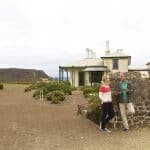
The Big Tree is another kilometre further on and provides a chance to get up close to this 62 Meter (203 ft) tall Eucalyptus.
Take a walk around the 17 Meter (55 ft) base of the tree on the well maintained boardwalk and feel the quiet of the Tasmanian bush.
After time at Dip Falls, retrace your steps to the Mawbanna Road and turn right.
The road will become Newhaven Road and wind its way through forests with the occasional cleared area for cattle before it T-joins the Montumana Road looking over the Montumana farming area.
Turn right onto Montumana Road and follow it a short distance to the A2 Bass Highway. Turn right (east) onto the A2 Bass Highway.
As the A2 Bass Highway bypasses Wynyard, watch for the turnoff to the right (inland) that will take you to the B26 road to Yolla.
The road will climb steadily through mixed trees and farmland and join the A10 Murchison Highway at Yolla. Take the A10 Murchison Highway towards Strahan and Queenstown.
Hellyer Gorge to Cradle Mountain
Featured Stops | Hellyer Gorge Reserve | Cradle Mountain and Dove Lake
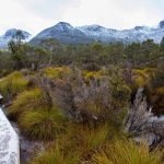
During a very winding stretch of road through the forests, there will be a sign for Hellyer Gorge State Reserve.
If inclined, stop and take the walk into the forest. After Hellyer Gorge, stay on the A10 Murchison Highway south.
After crossing the B23 / B18 junction, stay on the A10 Murchison Highway and watch for the turnoff to the left (east) onto the C132 Belvoir Road to Cradle Mountain.
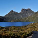
At Middlesex, watch for the turnoff to the right as a branch of the C132 heads into Cradle Mountain National Park and Dove Lake.